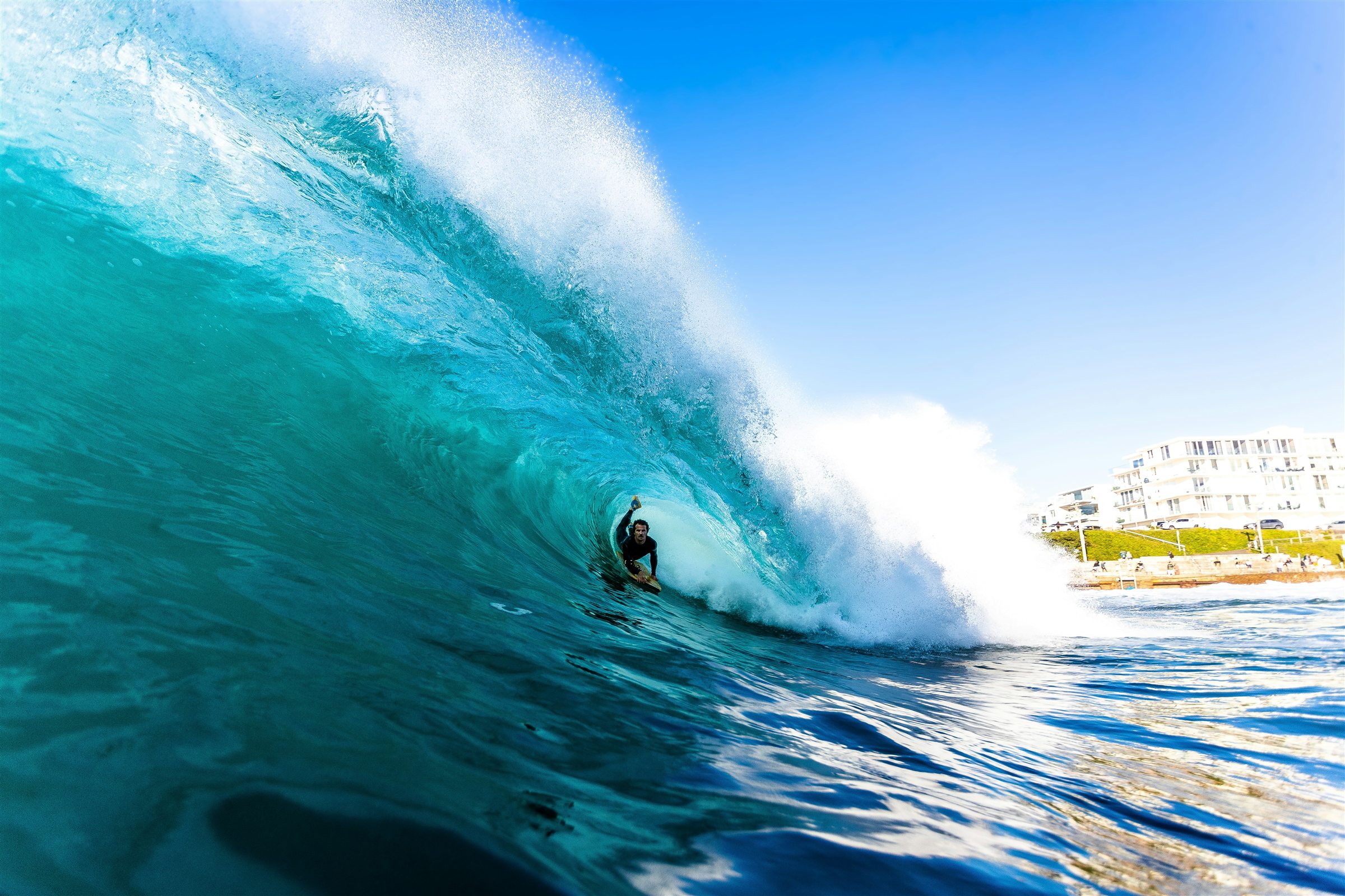
Head-high to double-overhead sets possible at standout breaks as powerful South Pacific and hurricane energy converge.
SHOREY™ | Surf Forecast · July 28–31, 2026
Southern California, get ready. Hurricane Genevieve is sending a powerful pulse of south swell toward the California coastline, and the next several days are shaping up to deliver one of the more significant summer surf events of the season.
Genevieve, a major hurricane spinning over the Eastern Pacific, is generating a long-period swell that is tracking north toward Baja California and Southern California. The storm is expected to gradually weaken as it moves northwest, but the swell already generated will continue traveling toward our coast.
And here’s the interesting part: Genevieve won’t be arriving alone.
An existing Southern Hemisphere swell is already producing head-high and larger surf at exposed breaks. As the hurricane swell builds, the two swell systems will overlap, bringing more energy, stronger currents, and potentially some serious surf to the region.
The biggest window to watch: Thursday, July 30, through Friday, July 31.
The Swell: South Swell on the Move
The leading energy from Genevieve is expected to build into Southern California on Wednesday, July 29, arriving from a steep south-southeast direction.
Initially, this swell will be selective. Beaches with a direct exposure to the incoming angle should begin seeing an increase in wave size, while more sheltered locations may experience less of an impact.
As the swell builds, its direction is expected to gradually shift from south-southeast toward due south. That change could open up additional breaks and increase surf size at locations with favorable southern exposure.
The combination of Genevieve’s energy and the existing Southern Hemisphere swell should keep waves coming throughout the region.
Southern California Surf Forecast
Wednesday, July 29 — The Build
Genevieve’s leading swell begins filling in throughout the day.
- Exposed breaks: Building head-high surf and larger sets
- North Orange County: Increasing energy, with standout locations potentially seeing bigger waves
- South Orange County and San Diego: Existing Southern Hemisphere swell continues to provide surf, with Genevieve adding a new pulse
- Conditions: Somewhat mixed surf, with overlapping swell directions and developing current
Expect a gradual increase through the day. The best exposure will be at breaks that can pick up the steep SSE swell angle.
Thursday, July 30 — The Main Event
This is when things are expected to get serious.
Genevieve’s swell is forecast to strengthen and become the dominant energy source for many Southern California breaks. As the direction shifts closer to due south, more locations should begin feeling the impact.
- General exposed surf: Head-high to overhead, with larger sets
- Standout breaks: Well overhead
- North Orange County swell magnets: Double-overhead sets possible, occasionally larger
- Conditions: Powerful surf, strong drift, and potentially challenging beachbreak conditions
North Orange County is expected to be particularly well-positioned for this swell. Look for locations with strong southern exposure and favorable underwater structure.
Friday, July 31 — Holding Strong
The hurricane swell is expected to remain elevated, potentially delivering another excellent day of surf.
The strongest energy should continue favoring south-facing breaks, with standout locations still capable of producing well-overhead waves.
Early morning conditions are expected to offer the better opportunity for cleaner surf, with light or variable winds before the afternoon sea breeze develops.
Weekend, August 1–2 — Slow Fade
The main pulse should gradually taper through the weekend and into early next week.
That doesn’t mean the surf disappears. Residual hurricane energy, combined with the Southern Hemisphere swell, should keep plenty of waves in the water.
Expect conditions to become more manageable as the strongest pulse moves through, although exposed beaches may continue to experience strong currents and occasional larger sets.
Where to Look
Not every beach will respond equally to this swell. The angle is steep, and that makes exposure especially important.
North Orange County
Best overall potential for standout surf. The region’s south-facing swell magnets are expected to receive a substantial portion of Genevieve’s energy. Some locations could see double-overhead sets, with occasional larger waves.
Newport Beach and The Wedge
A break worth watching. The Wedge is a summer destination, and this is the time of year when strong Southern Hemisphere and tropical south swells can bring serious energy to Newport Beach. The exact response will depend on swell angle, tide, sandbar configuration, and local conditions. Don’t assume every large south swell will produce a perfect Wedge.
South Orange County
Expect a combination of existing Southern Hemisphere energy and the incoming hurricane swell. The best results will depend on each break’s orientation and ability to pick up the steep south swell.
San Diego County
South- and southwest-facing beaches should continue to see elevated surf. Some exposed locations could experience larger sets, while sheltered beaches may remain considerably smaller.
The SHOREY™ Trifecta: What to Watch
A powerful swell is only one part of the equation. The difference between a great session and a frustrating one comes down to three things.
At SHOREY™, we call it THE SHOREY™ TRIFECTA:
1. Perfect wind direction
Early morning conditions are expected to offer the best opportunity, with light or variable winds before the afternoon onshore breeze develops.
2. The right tide
Watch how the tide interacts with the local sandbars and beach profile. At shorebreak locations, the right tidal window can dramatically change where waves break and how they pitch.
3. The right swell — size and direction
Genevieve is bringing the energy, but the angle is everything. Its expected shift from SSE toward due south should help determine which breaks receive the best conditions.
The Trifecta is what turns a big swell into a memorable session.
A Serious Word About Conditions
This is not an ordinary summer swell.
Large surf brings powerful currents, unpredictable sets, strong lateral water movement, and dangerous shorebreak. Even experienced surfers should carefully evaluate conditions before entering the water.
The National Weather Service has warned that Genevieve-generated surf could create life-threatening conditions and dangerous rip currents along portions of Baja and Southern California.
Pay attention to local beach advisories and lifeguard instructions. Stay clear of exposed rocks, jetties, and unstable shoreline areas. Never assume a beach is safe simply because the water looks calm between sets.
SHOREY™’s Final Call
Genevieve is setting up a serious summer swell event for Southern California.
Wednesday should bring the initial build. Thursday and Friday are the days to circle, especially for south-facing breaks and North Orange County’s standout swell magnets. The weekend should bring a gradual fade, but there should still be enough energy around for surfers looking to get wet.
Keep an eye on the wind. Watch the tide. Know your break.
And remember, the biggest waves aren’t always the best waves.
SHOREY™
For the love of waves, shorebreak, and everything in between.
Respect the ocean. Understand the break. Ride what the ocean gives you.
Cover photo: byronetmedia on Unsplash