Heavy water chargers only · Every piece printed to order

Category: Surf Stories

SHOREY™ surf stories: swell forecasts, heavy-water breaks and shorebreak culture, from the Wedge and Black’s Beach to Australia, the UK and beyond.

  • Southern California’s June Swell Run: S and SW Swells Keep the Waves Coming

    Southern California’s June Swell Run: S and SW Swells Keep the Waves Coming

    A combination of South Pacific energy and southwest swell continues to spread waves throughout the Southern California Bight.

    SHOREY™ | Surf Outlook · June 12, 2026

    Southern California’s June surf run is continuing, with a combination of south (S) and southwest (SW) swell keeping waves in the water from Santa Barbara to San Diego.

    The latest swell activity follows a powerful Southern Hemisphere storm system that sent significant south-southwest energy toward the California coast earlier in the week. While the largest part of that initial swell had begun to ease, additional energy was keeping conditions active, with another stretch of elevated surf expected through the weekend.

    The interesting part of this setup is the combination of swell directions. South and southwest energy interact differently with the coastline, spreading waves around the Southern California Bight and offering opportunities at a variety of exposed beaches and breaks.

    For surfers, this is a weekend to pay attention to the details. The swell is there, but finding the right exposure, wind, and tide will make all the difference.

    The Swell Setup: South Meets Southwest

    The South Pacific is one of Southern California’s major swell engines during the winter and summer months. Storm systems developing across the Southern Hemisphere can generate powerful, long-period waves that travel thousands of miles north toward the California coastline.

    The recent swell event was generated by a strong Southern Hemisphere storm, producing significant south-southwest energy that reached Southern California earlier in the week.

    As that initial pulse began to fade, a combination of south and southwest swell continued to influence the region.

    These directions are important because the Southern California coastline is anything but uniform.

    A south swell favors beaches and breaks with direct southern exposure. Southwest energy can reach a different collection of locations, depending on the angle of the coastline, island shadowing, and underwater geography.

    Together, these swell directions help distribute wave energy around the Bight rather than concentrating it at just one stretch of beach.

    The Weekend Surf Outlook

    The National Weather Service’s June 12 forecast called for surf building into Saturday, with elevated conditions continuing Sunday.

    Friday, June 12 — The Swell Remains Active

    The initial South Pacific energy was beginning to settle, but waves remained elevated across much of the region.

    • Malibu and Los Angeles County: 3–5 feet
    • Ventura County: 2–4 feet
    • Southwestern and southeastern Santa Barbara County: 2–4 feet
    • Central Coast: 3–5 feet

    The combination of south and southwest swell energy continued to influence exposed breaks, with local conditions varying considerably from beach to beach.

    Saturday, June 13 — Another Solid Day

    Surf was forecast to build across several Southern California regions.

    • Malibu and Los Angeles County: 3–6 feet
    • Ventura County: 3–6 feet
    • Southern Santa Barbara County: 3–6 feet
    • Central Coast: 3–5 feet

    The south-facing beaches were expected to receive the strongest impact, with the mix of incoming energy creating different opportunities depending on coastline exposure.

    Sunday, June 14 — Elevated Surf Continues

    The National Weather Service forecast maintained elevated surf into Sunday.

    • Malibu and Los Angeles County: 3–6 feet
    • Ventura County: 3–6 feet
    • Southern Santa Barbara County: 3–6 feet
    • Central Coast: 3–5 feet

    The swell mix was expected to vary by region. South swell remained prominent across the southern counties, while the Central Coast forecast included a change toward south and northwest swell.

    These are regional surf forecasts, not guaranteed wave heights at individual breaks. Local sets can vary substantially.

    Where the Swell Will Show Up

    Santa Barbara and the Central Coast

    Southern-facing beaches and exposed locations should benefit from the incoming south energy.

    The Central Coast was forecast to see a mix of west and south swell through Saturday, with south and northwest energy indicated for Sunday.

    Different coastline orientations will determine which beaches receive the most energy. Some locations will remain more protected, while exposed breaks could see more consistent surf.

    Ventura County

    Ventura was forecast to see surf increase from 2–4 feet Friday to 3–6 feet over the weekend.

    South swell was expected to become the primary influence by Sunday.

    Look for beaches with favorable southern exposure, while keeping an eye on local wind conditions and the changing tide.

    Malibu and Los Angeles County

    Malibu and Los Angeles County were among the regions forecast to see 3–6-foot surf through the weekend.

    The combination of south and west swell in the National Weather Service forecast reflected the mixed energy affecting this stretch of coastline. The broader surf outlook also highlighted the importance of the southwest and south swell combination.

    South-facing beaches were expected to experience elevated surf and dangerous rip currents.

    Orange County and San Diego

    The earlier South Pacific swell had already delivered significant surf farther south, with the largest conditions occurring earlier in the week.

    The remaining south and southwest energy continued to influence exposed locations, although the available June 12 National Weather Service regional forecast does not provide a verified weekend height breakdown for Orange County and San Diego.

    As always, local exposure makes a major difference. A beach that picks up southwest energy may respond very differently from one that depends on a more southerly swell angle.

    The SHOREY™ Trifecta

    A combination of south and southwest swell can create opportunities across a wide stretch of coastline, but the swell direction is only one part of the equation.

    At SHOREY™, we look for three essential ingredients:

    1. Perfect wind direction

    Wind can transform a wave. Light offshore or favorable morning winds help groom the face, while onshore winds can quickly disrupt an otherwise promising swell.

    2. The right tide

    Tide influences how waves interact with sandbars, reefs, and shallow-water contours. At shorebreak locations, a relatively small change in tide can make a major difference in where and how a wave breaks.

    3. The right swell — size and direction

    This is where the June swell combination becomes interesting. South and southwest energy reach different parts of the coastline, and the right angle can bring a break to life.

    Swell size and period determine how much energy arrives, while local geography determines how that energy is transformed into waves.

    When all three elements line up, that’s THE SHOREY™ TRIFECTA.

    A Serious Word About Beach Conditions

    The weekend forecast also came with an important warning.

    On June 12, the National Weather Service issued a Beach Hazards Statement for Saturday morning through Monday evening, covering Ventura County, Malibu, Los Angeles County, and Southern Santa Barbara County.

    Surf of 3–6 feet on south-facing beaches was expected to produce dangerous rip currents and breaking waves. Evening high tides of approximately 7.5–7.9 feet were also forecast, with minor coastal flooding possible in low-lying areas.

    This is an important reminder that moderate-looking surf can still carry considerable power. Strong currents, shifting sandbars, and larger sets can create hazardous conditions for swimmers, surfers, and anyone standing near the water.

    Check local advisories and lifeguard guidance before entering the ocean.

    The SHOREY™ Verdict

    Southern California’s June surf run is far from over.

    The combination of south and southwest swell energy is keeping the Southern California Bight active, with surf expected to build into Saturday and remain elevated through Sunday.

    The weekend outlook points toward 3–6-foot surf across several regions, particularly on south-facing beaches. The best opportunities will depend on local exposure, wind direction, and tide.

    The South Pacific has delivered the energy. Now it’s up to the coastline to determine where the best waves show up.

    Keep watching the swell charts. Check the wind. Know your break.

    And when the Trifecta comes together, make the most of it.


    SHOREY™

    For the love of waves, shorebreak, and everything in between.

    Respect the ocean. Understand the break. Ride what the ocean gives you.

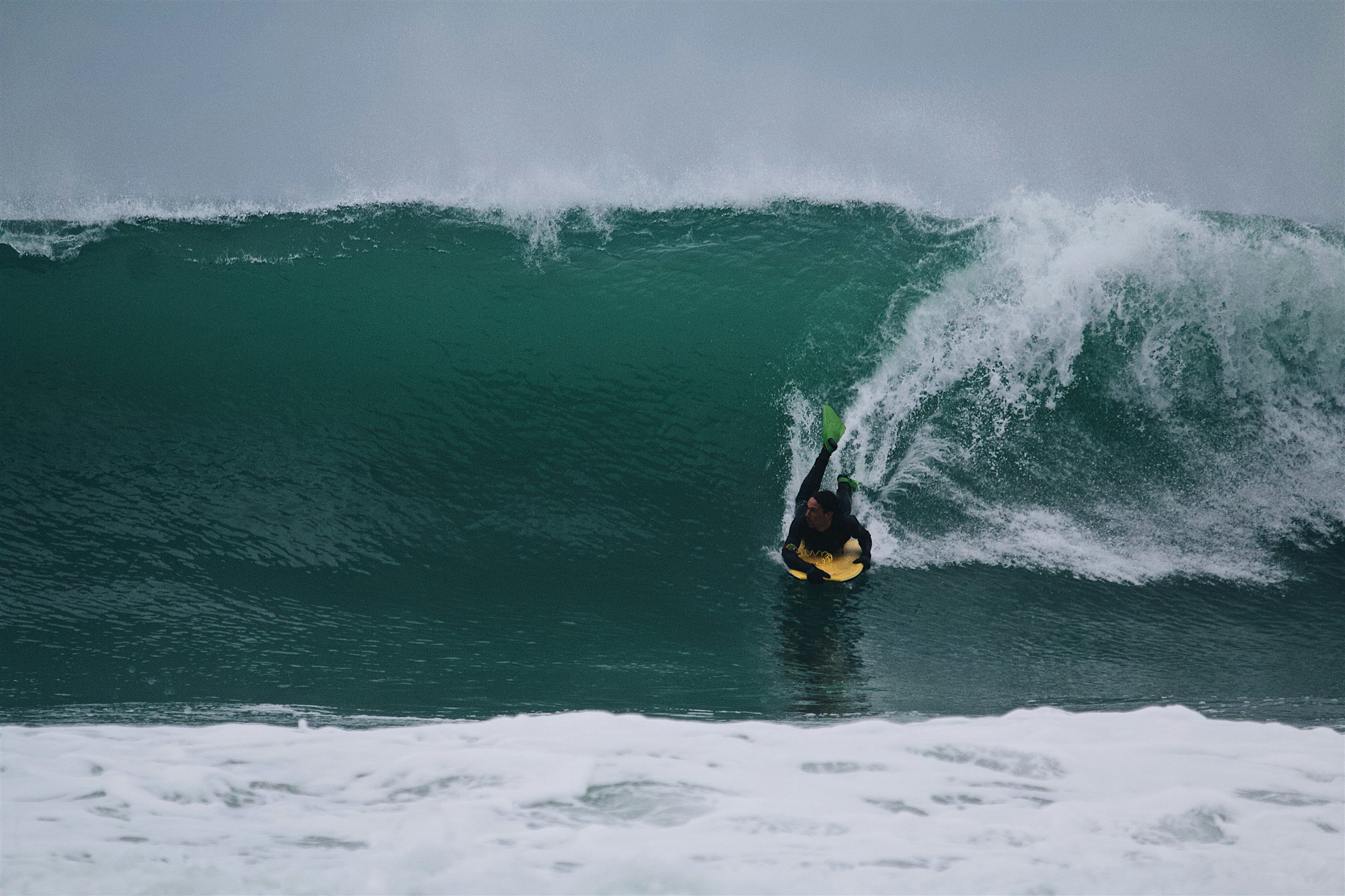
    Cover photo: Mael Balland on Unsplash
  • Atlantic Hurricane Season Outlook: El Niño Could Put the Brakes on Atlantic Storms

    Atlantic Hurricane Season Outlook: El Niño Could Put the Brakes on Atlantic Storms

    NOAA favors a quieter Atlantic season in 2026, but one well-positioned tropical system can still deliver a memorable run of surf along the East Coast.

    SHOREY™ | Surf Outlook · June 1, 2026

    The 2026 Atlantic hurricane season officially begins June 1, and the early outlook points toward a potentially quieter year across the basin.

    NOAA is forecasting a below-normal season, with the expected development of El Niño identified as one of the major factors influencing that prediction. The climate pattern is expected to increase wind shear across the tropical Atlantic, making conditions less favorable for tropical storms to organize and strengthen.

    For East Coast surfers, that could mean fewer opportunities for the tropical systems that can send long-period swell toward beaches from Florida to New England.

    But a quieter hurricane season does not mean a flat Atlantic.

    Seasonal forecasts describe the overall likelihood of tropical activity. They cannot tell us exactly which storms will form, where they will travel, or which coastlines will receive their swell.

    One well-positioned system can still produce a significant surf event, even during a below-average season.

    And as every East Coast surfer knows, sometimes all it takes is one storm.

    El Niño: A Major Factor in the Atlantic

    El Niño is the warm phase of the El Niño–Southern Oscillation (ENSO), a climate pattern involving changes in tropical Pacific Ocean temperatures and atmospheric circulation.

    Its influence extends far beyond the Pacific.

    As of June 1, 2026, El Niño was expected to develop and strengthen during the Atlantic hurricane season. It was not yet appropriate to describe a fully established event as a certainty.

    One of the most important ways El Niño can influence Atlantic hurricanes is through increased vertical wind shear.

    Wind shear occurs when wind speed or direction changes with altitude. Stronger upper-level winds can disrupt the structure of developing tropical cyclones, tilt their circulation, and make it harder for thunderstorms to remain organized around the storm’s center.

    That can limit tropical cyclone development and intensification.

    It is an important reason forecasters were anticipating a less active Atlantic season in 2026.

    However, El Niño is not the only influence. Ocean temperatures, trade winds, atmospheric moisture, and other large-scale weather patterns also play a role.

    What the Forecasters Are Saying

    NOAA issued its initial 2026 Atlantic hurricane season outlook on May 21.

    The agency assigned the season:

    • 55% probability of below-normal activity
    • 35% probability of near-normal activity
    • 10% probability of above-normal activity

    NOAA forecast the following ranges, each with a 70% probability:

    • 8–14 named storms
    • 3–6 hurricanes
    • 1–3 major hurricanes

    A major hurricane is a Category 3, 4, or 5 storm, with sustained winds of at least 111 mph.

    For comparison, the 1991–2020 seasonal averages are approximately 14 named storms, seven hurricanes, and three major hurricanes.

    NOAA’s forecast reflected competing atmospheric and oceanic influences.

    El Niño was expected to suppress Atlantic activity by increasing wind shear. On the other hand, slightly warmer-than-average Atlantic waters and weaker-than-average trade winds could help support tropical development.

    The result was a forecast favoring a below-normal season, not a prediction that the Atlantic would be free of hurricanes.

    What Does This Mean for East Coast Surf?

    For surfers, the number of storms is only part of the story.

    The quality of a tropical swell depends on where a storm develops, its size and intensity, how long its winds blow over the ocean, and how it moves relative to the coastline.

    A tropical storm does not have to become a major hurricane to generate worthwhile surf. A system’s wind field, duration, and position can be just as important as its maximum sustained wind speed.

    A storm tracking through the western Atlantic or moving northward offshore can generate swell that travels toward portions of the East Coast. The direction of that energy varies with the storm’s position and movement.

    The impact also differs considerably from one region to another.

    Florida

    Florida’s Atlantic-facing coastline can receive tropical swell from systems developing in the western Atlantic, Bahamas, and surrounding tropical waters.

    Storms positioned offshore can generate easterly and southeasterly energy, although the direction and quality of the resulting swell depend on the storm track and the coastline’s exposure.

    A quieter season could mean fewer opportunities for widespread tropical swell, but it does not rule out localized or significant surf events.

    The Carolinas

    North and South Carolina can benefit from tropical systems moving through the Bahamas, western Atlantic, and waters offshore of the southeastern United States.

    Storm track is critical.

    A system positioned in the right location can send long-period swell toward exposed beaches. A storm following a different track may generate little useful surf for a particular stretch of coastline.

    Even during a below-normal season, one well-positioned tropical system can produce a substantial run of waves.

    Mid-Atlantic and the Northeast

    The Mid-Atlantic and Northeast can receive swell from tropical systems tracking northward through the western Atlantic.

    As storms move farther offshore, their size, intensity, direction of travel, and distance from the coastline help determine how much energy reaches land.

    A quieter season could reduce the number of tropical swell opportunities, but it cannot eliminate the possibility of a major surf event.

    For surfers throughout the region, the storm’s position and resulting swell direction matter far more than the seasonal storm count alone.

    Fewer Storms Doesn’t Mean Less Danger

    There is an important distinction between seasonal storm numbers and the potential impact of an individual hurricane.

    A season can produce fewer storms and still experience a devastating landfall.

    NOAA’s seasonal outlook is not a prediction of where or when a hurricane will strike. Those outcomes depend on shorter-term weather patterns and steering currents that cannot be reliably forecast months in advance.

    A below-normal outlook should never be interpreted as a reason to let your guard down.

    For surfers, tropical systems can bring dangerous rip currents, powerful surf, coastal flooding, and rapidly changing ocean conditions, sometimes well before a storm makes landfall.

    Respect beach warnings, follow local marine forecasts, and understand the risks before entering the water.

    The Pacific Could Tell a Different Story

    While El Niño was expected to make Atlantic hurricane development less favorable, NOAA was forecasting above-normal tropical cyclone activity across the eastern and central Pacific.

    For the eastern Pacific, NOAA’s May 21 outlook assigned a 70% probability of an above-normal season, forecasting:

    • 15–22 named storms
    • 9–14 hurricanes
    • 5–9 major hurricanes

    The expected El Niño conditions were one of the factors supporting that outlook.

    This creates an interesting contrast between the two major tropical cyclone basins: the Atlantic was favored to have a below-normal season, while the eastern Pacific was favored to have an above-normal one.

    For surfers, Pacific tropical systems can generate swell for exposed coastlines in Mexico and Central America, and some systems can influence Hawaii and other parts of the Pacific.

    However, more tropical activity across an entire basin does not guarantee better surf at any individual break. Storm location, track, swell direction, and local exposure still determine who gets the waves.

    The SHOREY™ Trifecta

    A hurricane appearing on a satellite image does not automatically mean great surf.

    The best tropical swell events happen when three important elements come together:

    1. Perfect wind direction

    A storm’s wind field helps determine the direction and quality of the waves it generates. Its position relative to the coastline is critical, and local winds can make or break the conditions at the beach.

    2. The right tide

    Tide determines how incoming swell interacts with beaches, sandbars, reefs, and coastal structures. The best tidal window varies from break to break.

    3. The right swell — size and direction

    Storm intensity, duration, movement, and location all influence the swell that eventually reaches shore. The right swell size and direction can make all the difference.

    At SHOREY™, we call it THE SHOREY™ TRIFECTA.

    When all three align, an ordinary summer day can turn into something special.

    The SHOREY™ Verdict

    The 2026 Atlantic hurricane season is beginning with NOAA favoring below-normal tropical activity.

    The expected development of El Niño is a major reason for that outlook. Increased vertical wind shear can make it more difficult for Atlantic tropical systems to organize and strengthen, although other oceanic and atmospheric factors can influence the final outcome.

    For East Coast surfers, that could mean fewer opportunities for tropical swell during the summer and fall.

    But seasonal storm forecasts are not surf forecasts. They cannot tell us exactly where the waves will break or which beaches will benefit from an individual storm.

    The Atlantic only needs one well-positioned system to produce an unforgettable swell.

    Keep watching the tropics. Follow the forecast. Know your break.

    Because sometimes one storm is all it takes.


    SHOREY™

    For the love of waves, shorebreak, and everything in between.

    Respect the ocean. Understand the break. Ride what the ocean gives you.


    Historical Update | November 16, 2026

    Looking back, the Atlantic season developed into an exceptionally quiet one.

    According to the National Hurricane Center’s season summary as of November 16, the Atlantic had produced:

    • 10 named storms, compared with a 1991–2020 average of 14
    • 1 hurricane, compared with an average of 7
    • 1 major hurricane, compared with an average of 3
    • Accumulated Cyclone Energy 83% below the 1991–2020 average

    The season’s activity was consistent with the general direction of NOAA’s May outlook: a quieter-than-normal Atlantic hurricane season.

    El Niño was an important part of the atmospheric setup, but it should not be credited as the sole cause. Seasonal activity reflects several interacting climate and weather factors.

    The original June 1 outlook was a seasonal forecast, not a prediction of the exact number of storms or their eventual tracks. The historical outcome makes the quiet-season expectation particularly notable.

    Source: NOAA National Hurricane Center, 2026 Atlantic Hurricane Season Summary

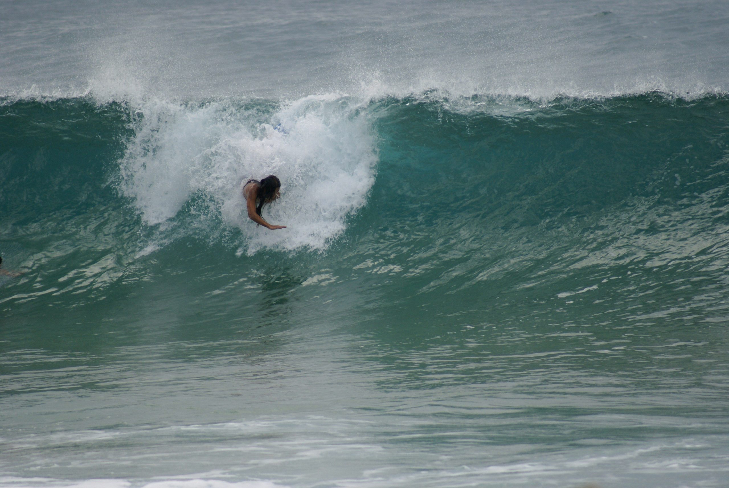
    Cover photo: Sara Barros on Unsplash

  • Western UK & Ireland: Fresh WNW Swell Keeps the Surf Run Going

    Western UK & Ireland: Fresh WNW Swell Keeps the Surf Run Going

    Another pulse of Atlantic energy brings fun surf to exposed western breaks, while a developing shift toward warmer, more settled weather offers a glimpse of summer.

    SHOREY™ | Surf Outlook · May 19, 2026

    The North Atlantic isn’t finished delivering waves just yet.

    A renewed pulse of west-northwest swell was expected to keep exposed breaks along the western coasts of the UK and Ireland in the mix, extending a run of fun surf as the weather pattern began transitioning toward a warmer spell.

    For surfers in Cornwall and along Ireland’s Atlantic coastline, the setup offered another opportunity to get in the water before the quieter stretches of summer take hold.

    The important distinction was that the improving weather pattern was not arriving everywhere at once. Ireland was dealing with rain and stronger winds on May 19, while the broader outlook pointed toward high pressure becoming more influential and conditions improving in the days ahead.

    The Swell: Another Shot of WNW Energy

    The main story was a fresh pulse of west-northwest swell moving toward the western shores of the British Isles.

    This direction is well suited to many exposed breaks along Ireland’s Atlantic coast and the north-facing beaches of Cornwall. These coastlines have plenty of exposure to incoming North Atlantic energy, allowing them to pick up swell that can pass by more sheltered regions.

    Cornwall’s north coast was among the areas to watch, with exposed beaches offering the best opportunity to make the most of the incoming energy. Ireland’s western coastline also remained in the firing line, particularly at beaches and reefs with a clear window toward the WNW.

    Not every break would respond equally. Local coastline orientation, offshore islands, headlands and underwater features all influence how much swell reaches the beach and how it breaks.

    This was a continuation of a fun surf window rather than a reason to expect every break to turn on at once.

    Cornwall: Keep an Eye on the North Coast

    For Cornwall, the north coast was the natural focus for the WNW swell.

    Beaches around Newquay and the wider north Cornwall coastline are exposed to this direction and can make the most of incoming Atlantic energy. The quality of the surf, however, would depend on how the wind lined up with each individual beach.

    The south coast has a different exposure. It is more sheltered from direct WNW swell, so conditions there could be considerably smaller, depending on the size and direction of the incoming energy.

    The best strategy was to choose the coast that matched the swell and wind rather than assume the entire region would be working.

    Ireland: Atlantic Exposure Remains the Advantage

    Ireland’s western coastline is one of Europe’s great natural swell catchers.

    From County Donegal down through Sligo, Mayo, Clare and Kerry, exposed beaches and reefs can receive substantial energy from the North Atlantic. A WNW pulse gives many of these locations a favorable swell direction, although the size and quality vary considerably from one coastline to another.

    The weather on May 19 was not uniformly settled. Met Éireann’s daily summary recorded widespread showers and periods of persistent rain, with stronger southeasterly winds turning southwesterly. That is an important distinction when looking back at the original outlook: the surf opportunity was real, but the warm, settled conditions were not yet established across Ireland.

    As the broader weather pattern evolved, improving conditions would create more opportunities to find cleaner sessions.

    The Weather: A Shift Toward Summer

    The second part of the story was the developing weather pattern.

    High pressure was becoming more influential across the region, setting the stage for a warmer and more settled spell later in the week. The Met Office’s May 20 outlook anticipated fine, settled conditions for much of the UK over the approaching bank holiday period, while noting that northwestern Scotland could remain cooler and cloudier.

    That improvement was not instantaneous, and western Ireland still had unsettled conditions to work through.

    For surfers, the potential benefit was straightforward: lighter winds and more favorable local conditions could make the incoming swell more enjoyable, particularly where the wind turned offshore.

    But high pressure also has a trade-off. As the North Atlantic storm track becomes less active, the frequency of meaningful swell events can eventually decrease. The goal is to make the most of the available energy while the window is open.

    The SHOREY™ Trifecta

    A good surf session takes more than simply having waves on the charts.

    At SHOREY™, we call it THE SHOREY™ TRIFECTA:

    1. The right wind direction

    Ideally offshore or light enough to keep the wave faces clean.

    2. The right tide

    Each break has its own preferred tidal range, depending on its sandbanks, reefs and bottom contours.

    3. The right swell

    The correct size, period and direction for the coastline and individual break.

    When all three line up, an ordinary-looking forecast can turn into a memorable session.

    With fresh WNW energy in the water, exposed western breaks had the swell component. The remaining challenge was finding the right local wind and tide combination.

    What to Watch

    • North Cornwall: Exposed north-facing beaches were the primary candidates for the WNW swell.
    • Western Ireland: Atlantic-facing beaches and reefs had the best exposure to the incoming energy.
    • Sheltered coastlines: Expect less direct swell and potentially smaller surf.
    • Wind and tide: Check local conditions carefully; the best window can vary significantly between nearby breaks.

    As always, individual surf forecasts and local observations should guide decisions. A regional swell outlook is not a guarantee of conditions at any particular beach.

    The Bottom Line

    The North Atlantic was still providing opportunities for surfers along the western edges of the UK and Ireland.

    A renewed WNW swell pulse offered another round of fun surf for exposed breaks, while a developing high-pressure pattern pointed toward warmer and more settled weather as the week progressed.

    It was a reminder that May can still deliver quality Atlantic surf before summer’s quieter pattern becomes more established.

    Find the right coastline, watch the wind, time the tide and make the most of the swell while it lasts.


    SHOREY™

    For the love of waves, shorebreak, and everything in between.

    Respect the ocean. Understand the break. Ride what the ocean gives you.

    Cover photo: Evelyn Cespedes on Unsplash