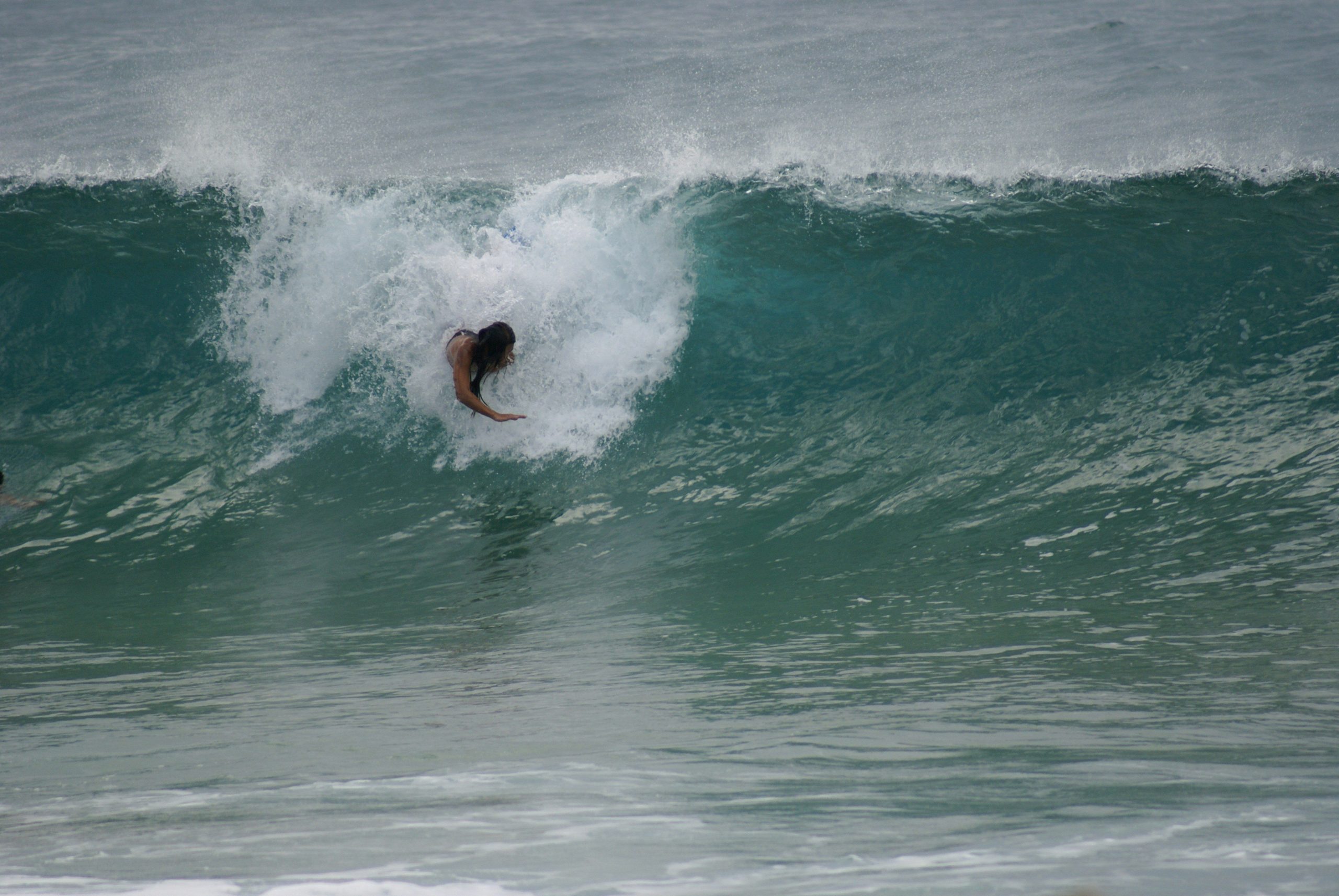
NOAA favors a quieter Atlantic season in 2026, but one well-positioned tropical system can still deliver a memorable run of surf along the East Coast.
SHOREY™ | Surf Outlook · June 1, 2026
The 2026 Atlantic hurricane season officially begins June 1, and the early outlook points toward a potentially quieter year across the basin.
NOAA is forecasting a below-normal season, with the expected development of El Niño identified as one of the major factors influencing that prediction. The climate pattern is expected to increase wind shear across the tropical Atlantic, making conditions less favorable for tropical storms to organize and strengthen.
For East Coast surfers, that could mean fewer opportunities for the tropical systems that can send long-period swell toward beaches from Florida to New England.
But a quieter hurricane season does not mean a flat Atlantic.
Seasonal forecasts describe the overall likelihood of tropical activity. They cannot tell us exactly which storms will form, where they will travel, or which coastlines will receive their swell.
One well-positioned system can still produce a significant surf event, even during a below-average season.
And as every East Coast surfer knows, sometimes all it takes is one storm.
El Niño: A Major Factor in the Atlantic
El Niño is the warm phase of the El Niño–Southern Oscillation (ENSO), a climate pattern involving changes in tropical Pacific Ocean temperatures and atmospheric circulation.
Its influence extends far beyond the Pacific.
As of June 1, 2026, El Niño was expected to develop and strengthen during the Atlantic hurricane season. It was not yet appropriate to describe a fully established event as a certainty.
One of the most important ways El Niño can influence Atlantic hurricanes is through increased vertical wind shear.
Wind shear occurs when wind speed or direction changes with altitude. Stronger upper-level winds can disrupt the structure of developing tropical cyclones, tilt their circulation, and make it harder for thunderstorms to remain organized around the storm’s center.
That can limit tropical cyclone development and intensification.
It is an important reason forecasters were anticipating a less active Atlantic season in 2026.
However, El Niño is not the only influence. Ocean temperatures, trade winds, atmospheric moisture, and other large-scale weather patterns also play a role.
What the Forecasters Are Saying
NOAA issued its initial 2026 Atlantic hurricane season outlook on May 21.
The agency assigned the season:
- 55% probability of below-normal activity
- 35% probability of near-normal activity
- 10% probability of above-normal activity
NOAA forecast the following ranges, each with a 70% probability:
- 8–14 named storms
- 3–6 hurricanes
- 1–3 major hurricanes
A major hurricane is a Category 3, 4, or 5 storm, with sustained winds of at least 111 mph.
For comparison, the 1991–2020 seasonal averages are approximately 14 named storms, seven hurricanes, and three major hurricanes.
NOAA’s forecast reflected competing atmospheric and oceanic influences.
El Niño was expected to suppress Atlantic activity by increasing wind shear. On the other hand, slightly warmer-than-average Atlantic waters and weaker-than-average trade winds could help support tropical development.
The result was a forecast favoring a below-normal season, not a prediction that the Atlantic would be free of hurricanes.
What Does This Mean for East Coast Surf?
For surfers, the number of storms is only part of the story.
The quality of a tropical swell depends on where a storm develops, its size and intensity, how long its winds blow over the ocean, and how it moves relative to the coastline.
A tropical storm does not have to become a major hurricane to generate worthwhile surf. A system’s wind field, duration, and position can be just as important as its maximum sustained wind speed.
A storm tracking through the western Atlantic or moving northward offshore can generate swell that travels toward portions of the East Coast. The direction of that energy varies with the storm’s position and movement.
The impact also differs considerably from one region to another.
Florida
Florida’s Atlantic-facing coastline can receive tropical swell from systems developing in the western Atlantic, Bahamas, and surrounding tropical waters.
Storms positioned offshore can generate easterly and southeasterly energy, although the direction and quality of the resulting swell depend on the storm track and the coastline’s exposure.
A quieter season could mean fewer opportunities for widespread tropical swell, but it does not rule out localized or significant surf events.
The Carolinas
North and South Carolina can benefit from tropical systems moving through the Bahamas, western Atlantic, and waters offshore of the southeastern United States.
Storm track is critical.
A system positioned in the right location can send long-period swell toward exposed beaches. A storm following a different track may generate little useful surf for a particular stretch of coastline.
Even during a below-normal season, one well-positioned tropical system can produce a substantial run of waves.
Mid-Atlantic and the Northeast
The Mid-Atlantic and Northeast can receive swell from tropical systems tracking northward through the western Atlantic.
As storms move farther offshore, their size, intensity, direction of travel, and distance from the coastline help determine how much energy reaches land.
A quieter season could reduce the number of tropical swell opportunities, but it cannot eliminate the possibility of a major surf event.
For surfers throughout the region, the storm’s position and resulting swell direction matter far more than the seasonal storm count alone.
Fewer Storms Doesn’t Mean Less Danger
There is an important distinction between seasonal storm numbers and the potential impact of an individual hurricane.
A season can produce fewer storms and still experience a devastating landfall.
NOAA’s seasonal outlook is not a prediction of where or when a hurricane will strike. Those outcomes depend on shorter-term weather patterns and steering currents that cannot be reliably forecast months in advance.
A below-normal outlook should never be interpreted as a reason to let your guard down.
For surfers, tropical systems can bring dangerous rip currents, powerful surf, coastal flooding, and rapidly changing ocean conditions, sometimes well before a storm makes landfall.
Respect beach warnings, follow local marine forecasts, and understand the risks before entering the water.
The Pacific Could Tell a Different Story
While El Niño was expected to make Atlantic hurricane development less favorable, NOAA was forecasting above-normal tropical cyclone activity across the eastern and central Pacific.
For the eastern Pacific, NOAA’s May 21 outlook assigned a 70% probability of an above-normal season, forecasting:
- 15–22 named storms
- 9–14 hurricanes
- 5–9 major hurricanes
The expected El Niño conditions were one of the factors supporting that outlook.
This creates an interesting contrast between the two major tropical cyclone basins: the Atlantic was favored to have a below-normal season, while the eastern Pacific was favored to have an above-normal one.
For surfers, Pacific tropical systems can generate swell for exposed coastlines in Mexico and Central America, and some systems can influence Hawaii and other parts of the Pacific.
However, more tropical activity across an entire basin does not guarantee better surf at any individual break. Storm location, track, swell direction, and local exposure still determine who gets the waves.
The SHOREY™ Trifecta
A hurricane appearing on a satellite image does not automatically mean great surf.
The best tropical swell events happen when three important elements come together:
1. Perfect wind direction
A storm’s wind field helps determine the direction and quality of the waves it generates. Its position relative to the coastline is critical, and local winds can make or break the conditions at the beach.
2. The right tide
Tide determines how incoming swell interacts with beaches, sandbars, reefs, and coastal structures. The best tidal window varies from break to break.
3. The right swell — size and direction
Storm intensity, duration, movement, and location all influence the swell that eventually reaches shore. The right swell size and direction can make all the difference.
At SHOREY™, we call it THE SHOREY™ TRIFECTA.
When all three align, an ordinary summer day can turn into something special.
The SHOREY™ Verdict
The 2026 Atlantic hurricane season is beginning with NOAA favoring below-normal tropical activity.
The expected development of El Niño is a major reason for that outlook. Increased vertical wind shear can make it more difficult for Atlantic tropical systems to organize and strengthen, although other oceanic and atmospheric factors can influence the final outcome.
For East Coast surfers, that could mean fewer opportunities for tropical swell during the summer and fall.
But seasonal storm forecasts are not surf forecasts. They cannot tell us exactly where the waves will break or which beaches will benefit from an individual storm.
The Atlantic only needs one well-positioned system to produce an unforgettable swell.
Keep watching the tropics. Follow the forecast. Know your break.
Because sometimes one storm is all it takes.
SHOREY™
For the love of waves, shorebreak, and everything in between.
Respect the ocean. Understand the break. Ride what the ocean gives you.
Historical Update | November 16, 2026
Looking back, the Atlantic season developed into an exceptionally quiet one.
According to the National Hurricane Center’s season summary as of November 16, the Atlantic had produced:
- 10 named storms, compared with a 1991–2020 average of 14
- 1 hurricane, compared with an average of 7
- 1 major hurricane, compared with an average of 3
- Accumulated Cyclone Energy 83% below the 1991–2020 average
The season’s activity was consistent with the general direction of NOAA’s May outlook: a quieter-than-normal Atlantic hurricane season.
El Niño was an important part of the atmospheric setup, but it should not be credited as the sole cause. Seasonal activity reflects several interacting climate and weather factors.
The original June 1 outlook was a seasonal forecast, not a prediction of the exact number of storms or their eventual tracks. The historical outcome makes the quiet-season expectation particularly notable.
Source: NOAA National Hurricane Center, 2026 Atlantic Hurricane Season Summary
Cover photo: Sara Barros on Unsplash